
Cascadia Drill: A Tenuous Small Plane Supply Line
Weekend volunteer disaster-simulation flights over the Southern Oregon coast.
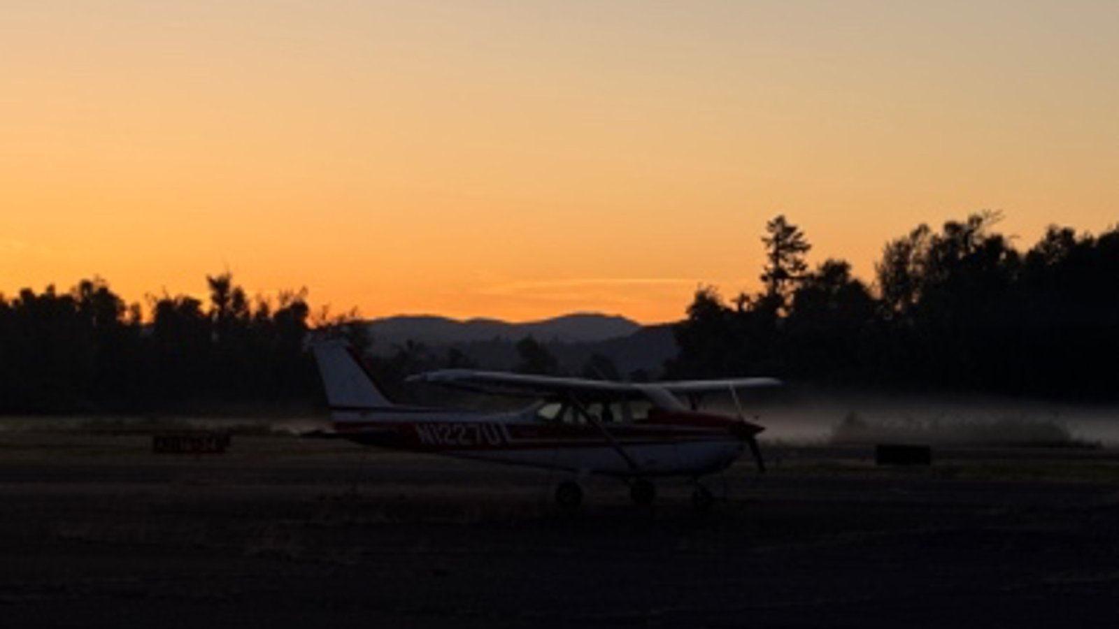
A light plane at the inland staging field. ODART’s Whale Run exercise, 2026.
The wing dipped low as we banked over the rural community of Cave Junction along the Illinois River, looking for a building identified as a disaster relief community supply cache. At an altitude of about 800′, in the turbulent air where the cool coastal air meets the warm valley, I was finding it difficult to locate our target — even with the benefit of printed aerial imagery.
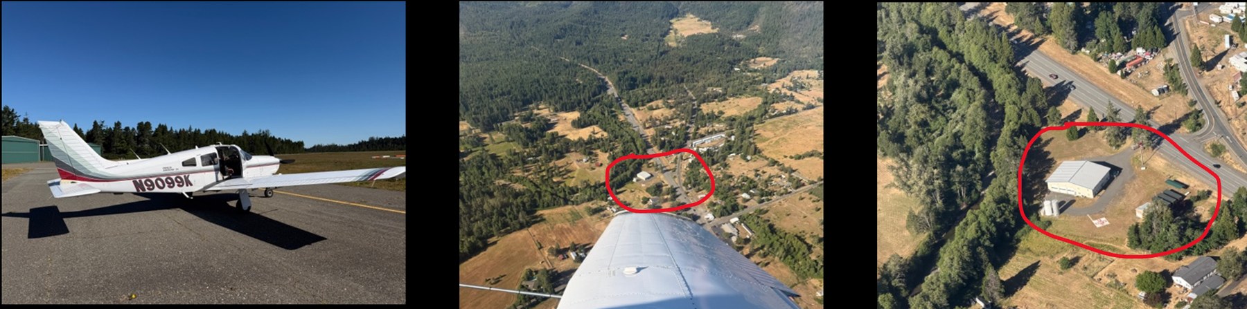
Piper Arrow — identifying community caches during fly-by reconnaissance.
Two-day preparedness drill
I recently had the opportunity to fly with pilot and friend, Jake Wallace, on the 5th annual Oregon Disaster Airlift Response Team (ODART) exercise where volunteer pilots participated in a Cascadia Subduction Zone earthquake simulation event. The first day of the event flew reconnaissance over a pre-defined coastal area (ours covered roughly from the California border to just north of Bandon, Oregon) while noting the imagined condition of bridges, communities, road access and potential drop zones. It was intended to simulate critical intelligence gathering after a significant earthquake and the tsunami that is expected to follow. Day 2 was a coordinated airlift of critical supplies to pre-established depots. With the rear seats removed from Jake’s Piper Arrow, we could carry more disaster relief supplies, water and MREs, flown from the hub in Creswell to a nearby depot.
The purpose of the drill, as with any drill, is to test systems and structures before they are needed.
“To prepare for something that has already happened is too late.”
— from the documentary Rumblings: Preparing for Cascadia
Community isolation
Off the Pacific Northwest, the Cascadia Subduction Zone runs roughly from northern California to British Columbia, where an oceanic plate grinds beneath the continental plate. When it shifts, as the geologic record says it will, the result is expected to be the most destructive natural event in our nation’s history: extended violent ground motion, coastal subsidence, and a tsunami arriving within minutes. One of the follow-on consequences, easy to overlook next to the shaking and the tsunami, is that the coast will be effectively cut off from incoming supplies of food, fuel, and water for a potentially extended period of time. Planners expect many coastal communities to be isolated for at least two weeks, potentially longer, severed from the roads that carry everything they consume.
That is the gap ODART exists to fill. The nonprofit, a network of volunteer pilots and amateur-radio operators, runs an annual exercise called the Whale Run. When the roads are gone, a light aircraft that can put down on a short strip, a straight stretch of road, or even a lake becomes a supply line. No single plane carries much. But dozens of them, flying repeatedly from inland staging fields to coastal drop points, add up to a distributed lifeline that needs no bridge or intact highway to work.
Distributed redundancy
The ODART system works because it is low-tech, distributed, and redundant. It is effectively the opposite of modern supply chains optimized for efficiency: large ports, interstate corridors, just-in-time delivery. ODART’s distributed design is intentional: many small independent nodes, each able to function when the others can’t, held together by a network of community ham radio operators who keep information flowing when cell phone towers are down.
ODART’s website sets realistic expectations about response times. While federal help will eventually arrive, a reasonable federal government response prioritizes the areas with the greatest concentration of people and property. Translated: the small and the remote wait the longest. The first days after a disaster fall to the individual and the community by design, not by failure.
The view from my seat
I was aboard as a spotter and co-navigator, while Jake piloted us through our assigned waypoints and cache locations. During the day-one reconnaissance, we logged the imagined condition of bridges and road access, and noted the number of people congregated around the community supply caches we would be resupplying if this were a real event. It is harder than it sounds, following roads and landmarks, trying to find and log a cache that looks like every other commercial rooftop and storage container from the air. I can appreciate the value of the exercise for pilots and spotters to familiarize themselves with their routes; the real thing will be far harder after the likely damage from a tsunami. The after-action notes were clear: the caches need to be far more visible, with distinctive markings.
On day two we flew the cargo, water and MREs, from the inland hub to a nearby depot, while ham operators relayed the consolidated damage reports to help coordinate the wider response.
Don’t rely exclusively on the cavalry
It’s not that no help is coming. It’s that you can’t expect resources and support to be everywhere immediately. The people who fly Whale Run are not pessimists. They are realists building a backup for the day the primary systems are down. They would be the first to tell you their airlift is a bridge across a gap, not a replacement for households and individuals who need to be able to sustain themselves until help arrives. Whether the ‘big one’ comes next year or in fifty doesn’t matter; there is value in being prepared for disruptive events across any scenario — earthquake, wildfire, heat dome, flood. It is in becoming the kind of household that doesn’t need the road to stay open to make it through the first two weeks.
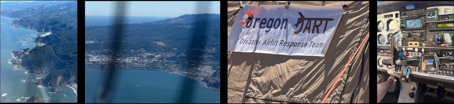
The southern Oregon coast along the day-one route, the ODART staging tent, and the cockpit of the Piper.
A personal reflection
My mother ‘retired’ to a rural property on that stretch of coast, where she continued teaching elementary school for a number of years, making the daily drive to Brookings and back. As we flew over Brookings, Gold Beach, and Bandon, I was looking at her town and the bridges on her commute, the ones we just noted in our imagery log as ‘destroyed’ or ‘not evident’. The abstract language of the state’s emergency management plans — “coastal communities will be isolated” — was vividly replaced by my thoughts of those same small towns, and my family, on the wrong side of a region crumbled, waiting on small planes.
If you want to see how prepared your household is, take the free Resilience Snapshot. It takes about five minutes and gives you a starting point across ten readiness domains. The framework behind it — how to think about risk, redundancy, and building capability before a disruption forces the issue — is the subject of the book, CRUX: Risk & Resilience.